Custom Pilot Capture — from €2,500
A tightly scoped proof-of-concept for one agreed model failure or data gap: scenario design, field capture, RAW data and baseline metadata / ground truth within the agreed scope.
Request a dataset
Start a mission Custom multisensor datasets for mass-casualty, search & rescue and complex field environments — RGB, thermal, UAV, ground and responder-view.

Tell us where the model breaks. We turn that failure mode into a controlled field scenario, capture it from the sensor viewpoints you need, and deliver a documented dataset built for validation, fine-tuning or benchmarking.
A tightly scoped proof-of-concept for one agreed model failure or data gap: scenario design, field capture, RAW data and baseline metadata / ground truth within the agreed scope.
Request a datasetWe design and capture the hard-to-source scenes your model needs — around a specific failure mode, sensor stack, environment and annotation requirement.
Request a datasetRights-cleared RGB, thermal, aerial, ground and responder-view sequences covering difficult human, terrain and emergency conditions.
Request a datasetEach production is delivered as an organized dataset package — not an anonymous folder of clips. Camera files, synchronization records, scenario notes, provenance and agreed metadata / ground truth travel together.

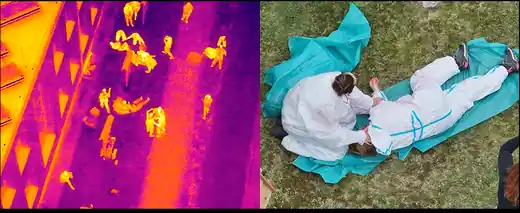
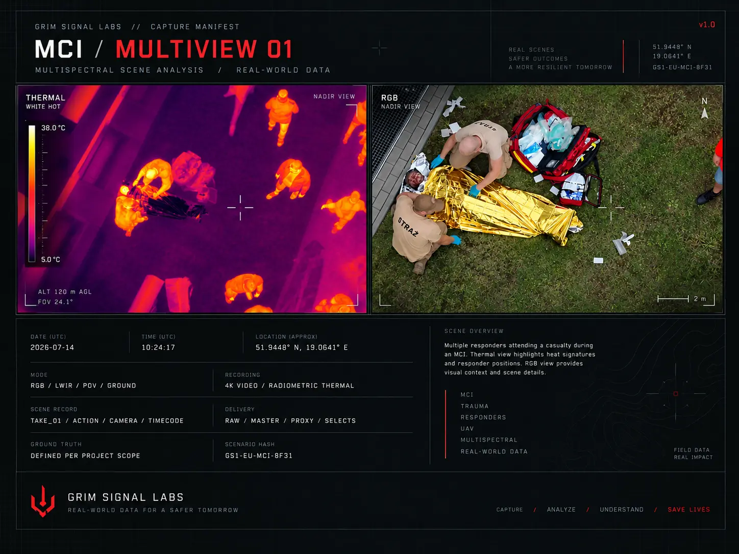
A small public sample from a controlled emergency-response training scenario in Poland. UAV RGB and thermal views show the kind of paired field material we are already capturing for computer-vision and Physical AI work.


Examples of the difficult scenarios and sensor combinations we can design, stage and capture.
Human signatures across posture, distance, occlusion, terrain and ambient conditions.
One event captured simultaneously from air, ground, body and thermal sensors.
First-person operational sequences for action, workflow and interaction understanding.
Smoke, darkness, clutter, partial visibility and difficult terrain by design.
We start with what your model misses, confuses or cannot reliably detect — then design the capture around that data gap.
RGB, thermal, UAV, ground cameras and POV/bodycam across smoke, darkness, occlusion, clutter and difficult terrain.
MCI, SAR and emergency-response scenarios are shaped by real field-domain knowledge, with documented provenance and commercial usage rights.
Tell us what the model fails to see, classify or track — and under which conditions.
We agree scenario, sensors, viewpoints, conditions, metadata / ground truth and delivery scope.
We produce the field scenario and record synchronized aerial, thermal, ground and responder views as required.
RAW data, organized files, capture manifest, agreed annotations / metadata and licensing documentation.
GRIM SIGNAL LABS develops and tests methods for evaluating AI systems in realistic crisis environments. Our R&D focuses on multimodal RGB and thermal data, degraded visual conditions, UAV and ground-based sensing, aerial perception, real-world benchmarking and AI performance under operational stress.
Experimental GRIM SIGNAL LABS systems under active development. Public previews show the operational problem and research direction while implementation details remain undisclosed.
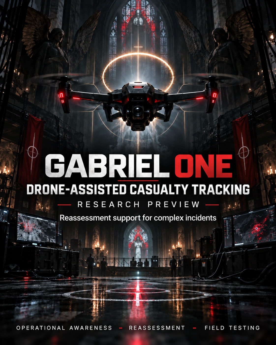
GABRIEL ONE explores a temporal memory layer for UAV operations - keeping track of who was seen, where, when and when another observation may be needed.
Keep a stable reference to the same person across repeated observations.
Link what was seen now with what was seen before instead of losing context frame by frame.
Surface who may need another look and return attention to the right point in the scene.
Keep the system as decision support: transparent cues, traceable observations, human confirmation.
Detect or confirm a casualty from the aerial view.
Maintain a simple persistent reference such as P01, P02 or P03.
Retain the previous observation instead of treating every frame as a new event.
Bring the casualty back to the operator's attention when another look is required.
Record the new observation and continue the operational picture.
The wider direction is a system that carries scene context forward while the aircraft, camera angle and operator change.
We are looking for UAV operators, SAR teams, EMS, disaster-response groups, robotics teams and research partners willing to challenge the concept with practical field feedback.
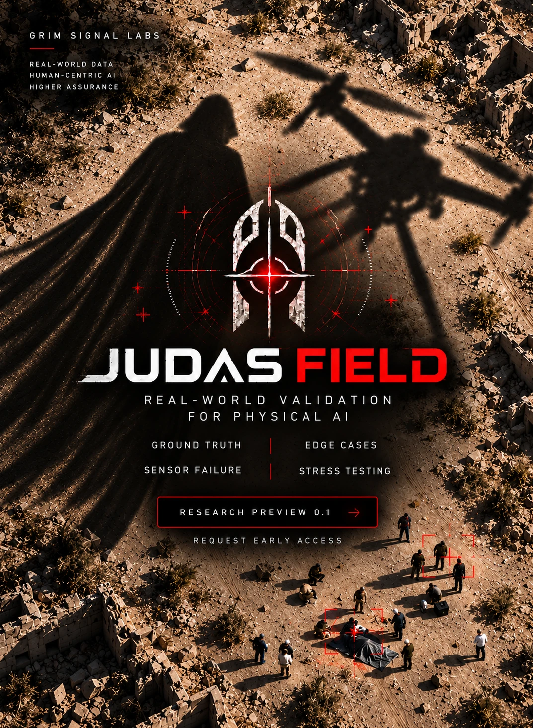
JUDAS FIELD explores how AI perception behaves when clean benchmarks give way to real terrain, imperfect sensing and operational complexity.
Evaluate system output against a verified physical scene rather than presentation-ready examples.
Challenge perception with conditions that are difficult to reproduce in conventional datasets.
Observe how system behaviour changes as sensing conditions become less reliable.
Explore where operational confidence begins to separate from physical reality.
Public material describes the research problem and field-validation direction only. Detailed test protocols, scoring architecture and implementation remain undisclosed during active development.
We are interested in research and field partners working on UAV, robotics, computer vision and Physical AI systems that require realistic validation.
Send us the scenario, required viewpoints and intended usage. We’ll turn it into a focused production brief.